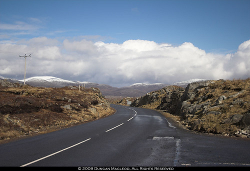
From the snow in Lewis we drove down to Harris, stopping periodically to take photos with any of the cameras to hand. Picked up some snacks in Tarbert and pushed on down the east side to Rodel and then on up the west side. Reckon it would be better to track the sun that way. The snow clouds might put paid to that idea, but what can one do?
--
View of Harris hills and Pairc from Balallan. maplink

We were always told that the lochan was as deep as the hill was high. Sgaoth Iosal is 531m high. The map doesn't note how deep the loch is, but I fear the story was that, and not the truth. maplink

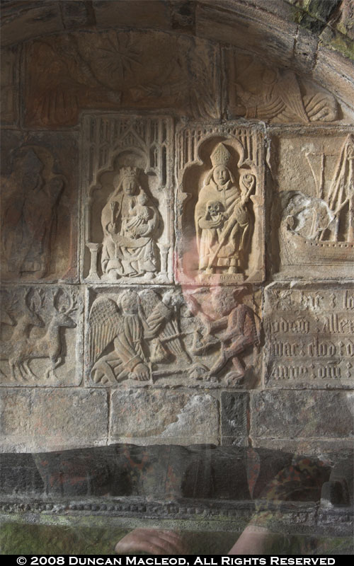
We went down the east coast (the "golden road") and snacked at Rodel before investigating St Clement's Church (built in the early 1500's).


We then pushed on to the Atlantic-swept west coast of Harris. Spotting geese at Northton.

Past the Harris Golf Course.

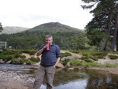
Mike with Fuji-san in the background.

West Loch Tarbert and the forest of Harris behind.
East of this, we have the beach at Luskentyre.
 Getting on with my life and thinking about things.


0 comments:
Post a Comment